
Looks like a rainy Father's Day and also a rainy Birth Anniversary of our National Hero -- Dr. Jose Rizal.
5-Day TROPICAL DEPRESSION EGAY(06W) Forecast Positions
AREAS HAVING PUBLIC STORM SIGNAL WARNING
Signal # 1Catanduanes
Albay
Camarines Sur
Camarines Norte
Polillo Island
Aurora
Quezon Province
Quirino
Nueva Vizcaya
Isabela
Cagayan including Calayan
and Babuyan group of Islands
Ifugao
Mt. Province
Kalinga
Abra
Apayao
Ilocos Norte
•••
FORECAST ANALYSIS AND EFFECTS
TD EGAY maintained strength but slowed down a bit. It is forecast to intensify in the next 12 hours. The new forecast shows a more westerly track indicating a landfall in the northeastern coast of Cagayan near Sta. Ana and Palaui Island. Thick disorganized rainbands continue to cover the entire Luzon and Visayas with outerbands affecting Mindanao. Deteriorating weather is now being experienced in the entire Philippines as the southwest moonsoon is being enhanced by this system.
Forecast Models now shows a slight turn to the west bringing EGAY to the direction of Northeastern Cagayan by tomorrow night. It shall then cross Camiguin Island in the early morning of 20 June and shall turn more to the west crossing Babuyan Channel and hitting Calayan Island. The system shall exit the Philippine Area of Responsibility sometime during the night of 20 June or early morning of 21 June. It shall make landfall in Eastern China near Shantou, Chaozhou, Jieyang and Longhou in Eastern Guandong and also near Liucuohou, Fujian by 22 June. EGAY shall turn sharply to the north towards Yanyangzhen. Rapid dissipation of the system is expected over land.
LPA Alert
Meanwhile, the Low Pressure Area (99W) over the Northern Caroline Islands continues to move westward. It is about 810 km East of Koror, Palau. Winds in the area are estimated at 27 kph. Initial data from ECMWF shows that this LPA shall intensify and become a significant Tropical Cyclone that shall hover in the East Philippine Sea in the coming days. We'll keep an eye on this disturbance as it develops.
===
TRACKING MAP OF TROPICAL DEPRESSION EGAY(06W)

===
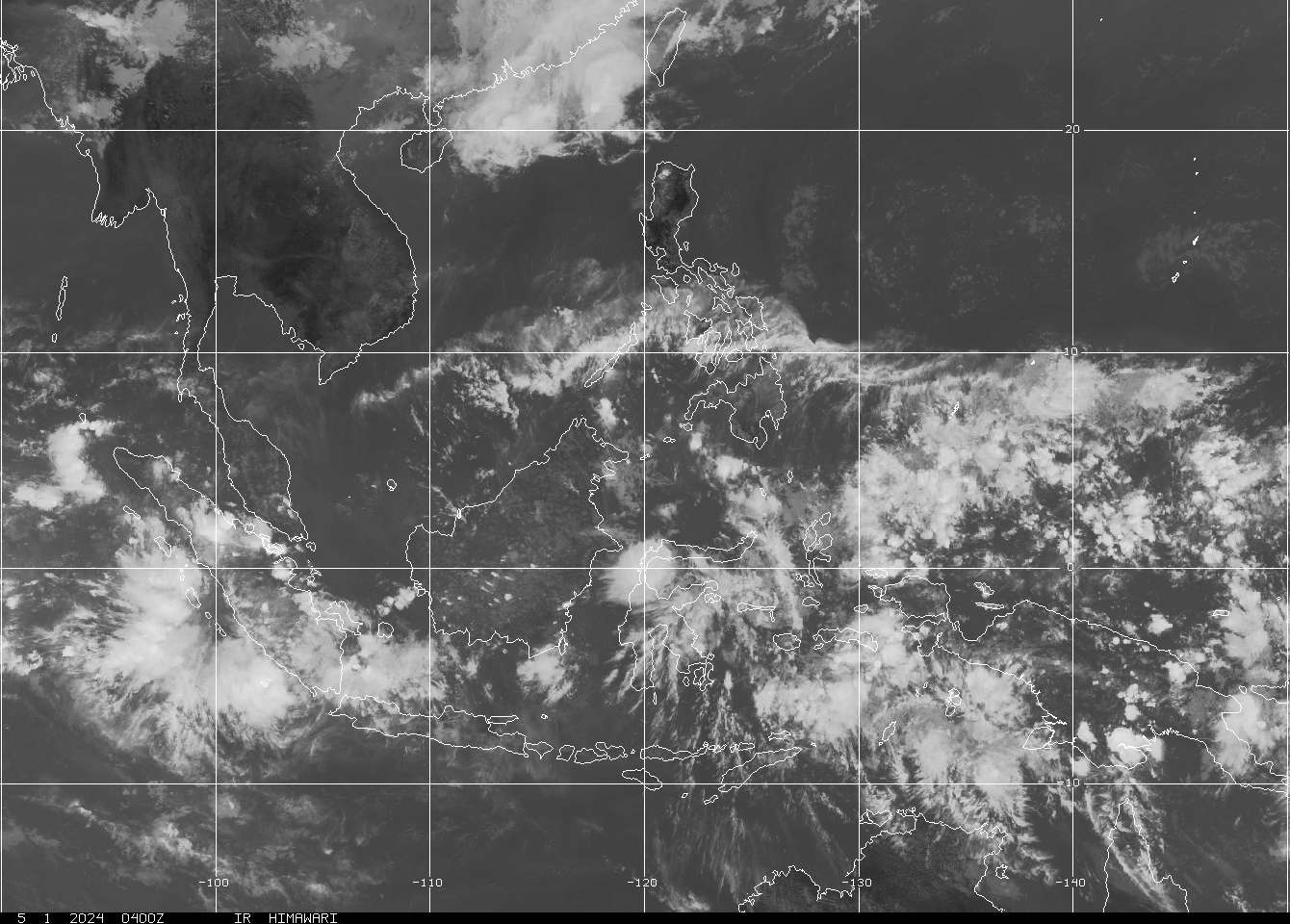
CLOSE-UP SATELLITE IMAGE as of 18 June @ 9:32pm

===
===
•••
 |
|---|
•••
No comments:
Post a Comment