
At 8am tomorrow, 20 June, EGAY shall be 100 km NW of Calayan Island or 165 km NNW of Claveria, Cagayan with intensified windgusts of 90 kph.
4-Day TROPICAL STORM EGAY(06W) Forecast Positions & Strength
AREAS HAVING PUBLIC STORM SIGNAL WARNING
Signal # 1Cagayan
Calayan
Babuyan Group of Islands
Batanes Group of Islands
Apayao
Ilocos Norte
•••
FORECAST ANALYSIS AND EFFECTS
Tropical Storm EGAY turned more to the north and is now passing very close to the Northeastern tip of Cagayan (Palaui Island and Escarpada Point). A change in forecast was generated by the models tracking EGAY between Calayan and Babuyan Island tonight until tomorrow. EGAY shall then exit Luzon Strait and then move out of the Philippine Area of Responsibility. Strong Southwest Moonsoon is damping rains to the rest of the country becoming worse in Extreme Northern Luzon as EGAY passes. Coastal waters in these areas shall be very rough and dangerous to small sea vessels. Beware of far fetched sea waves generated by this storm in some areas in Northern Luzon.
Tropical Storm EGAY shall continue moving WNW out of the Philippine Area of Responsibility tomorrow night where it shall encounter high levels of wind shear that shall weaken the system. It shall then turn NW to WNW making landfall near Zufucun, China by 22 or 23 June. Rapid dissipation of the system is expected over land just north of Hongkong.
LPA Alert
Meanwhile, the Low Pressure Area (99W) over the Caroline Islands is steadily moving WNW. It shall enter the Philippine Area of Responsibility anytime now. It is about 225 km NE of Koror, Palau. Winds in the area are estimated at 37 kph. Initial data from ECMWF shows that this LPA shall intensify and become a significant Tropical Cyclone that shall hover in the East Philippine Sea in the coming days. We'll keep an eye on this disturbance as it develops.
===
TRACKING MAP OF TROPICAL STORM EGAY(06W)

===
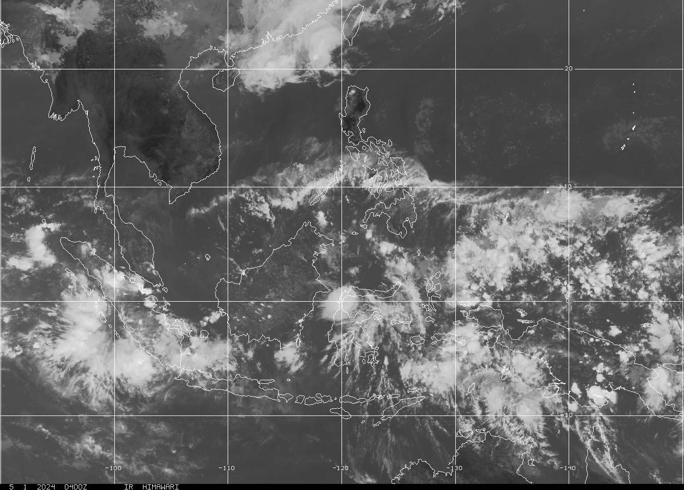
SATELLITE IMAGE as of 19 June @ 8:32pm

===
===
•••
 |
|---|
•••
No comments:
Post a Comment