
At 8pm tonight, EGAY shall be out of the Philippine Area of Responsibility or about 120 km East of Pratas Island and some 420 km ESE of Hongkong with slight intensified windgusts of 85 kph.
3-Day TROPICAL DEPRESSION EGAY(06W) Forecast Positions & Strength
AREAS HAVING PUBLIC STORM SIGNAL WARNING
Signal # 1Calayan
Babuyan Group of Is.
Batanes Group of Is.
Ilocos Norte
•••
FORECAST ANALYSIS AND EFFECTS
EGAY is about to leave the country after crossing Extreme Northern Luzon last night. The system accelerated and is expected to reintensify as it moves closer to Pratas - Hongkong Area. The South China Sea offers a favorable warm environment for redevelopment. It is expected to be out of the Philippine Area of Responsibility any moment now. Passing rains brought by the Southwest Moonsoon is in effect over the rest of the country becoming weak and neutral as normal conditions return. Coastal waters in the Northwestern coast of Luzon shall be very rough and dangerous to small sea vessels. Beware of far fetched sea waves generated by this storm in some areas in Northwestern Luzon. Improving weather condition is expected in the Philippines today as EGAY moves out.
EGAY (06W) shall continue moving WNW and there should be slight intensification prior to landfall in Hongkong. It shall make landfall in Hongkong in the morning of 22 June and shall traverse along Tung Lung Chao, Kwun Tong, Wong Tai Sin, Tsuen Wan, Yuen Long and the Shenzhen Bay. It shall continue moving inland near Bao'anqu, Panyu, Foshan, and Sihui by 23 June. Rapid dissipation of the system is expected over land.
LPA Alert
Meanwhile, a new Low Pressure Area (99W) is now in the vicinity of the Philippine Area of Responsibility and starts consolidating. It is about 1,070 km ESE of Guiuan, Samar. Winds in the area are estimated at 37 kph. Initial data from ECMWF shows that this LPA shall intensify and become a significant Tropical Cyclone that shall hover in the East Philippine Sea and is likely to follow the path of Tropical Depression EGAY in the coming days. We'll keep an eye on this disturbance as it develops.
P.S.
This will be the FINAL Advisory on this Tropical Disturbance. A new advisory will be issued once a new tropical disturbance becomes a threat to our country. Mabalos po.
•••
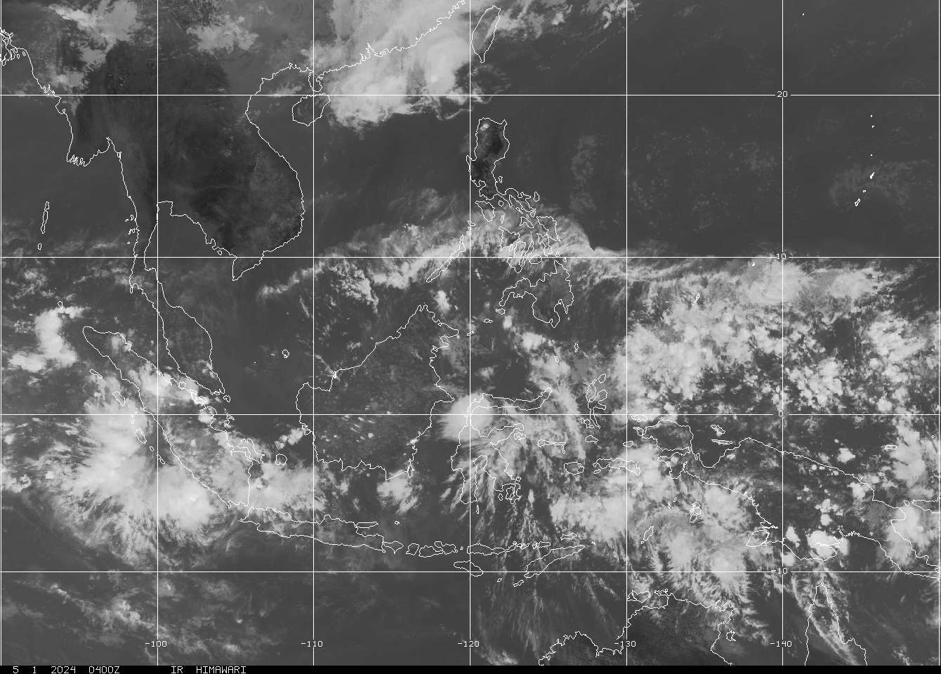
SATELLITE IMAGE as of 20 June @ 7:32am

===

===
===
•••
 |
|---|
•••
No comments:
Post a Comment