
The Low Pressure Area (99W) east of the Visayas is now the subject of a Tropical Cyclone Formation Alert by the Joint Typhoon Warning Center. The LPA is about 845 km ESE of Dolores, Eastern Samar and is moving NW at 27 kph. Winds in the area are estimated at 37 kph. The system has been steadily showing signs of development and convection is very apparent in the satellite imageries. 99W is in an area of high sea surface temperature making it very favorable for development. PAGASA shall name this system FALCON once it develops into a Tropical Cyclone. Stay tuned as we keep an eye on this new disturbance.
•••
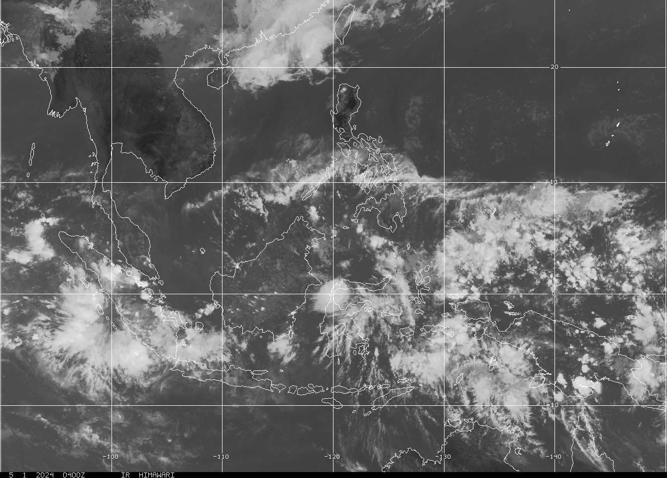
SATELLITE IMAGE as of 20 June @ 9:32pm

===

===
===
•••
 |
|---|
•••
No comments:
Post a Comment