
LPA Alert:
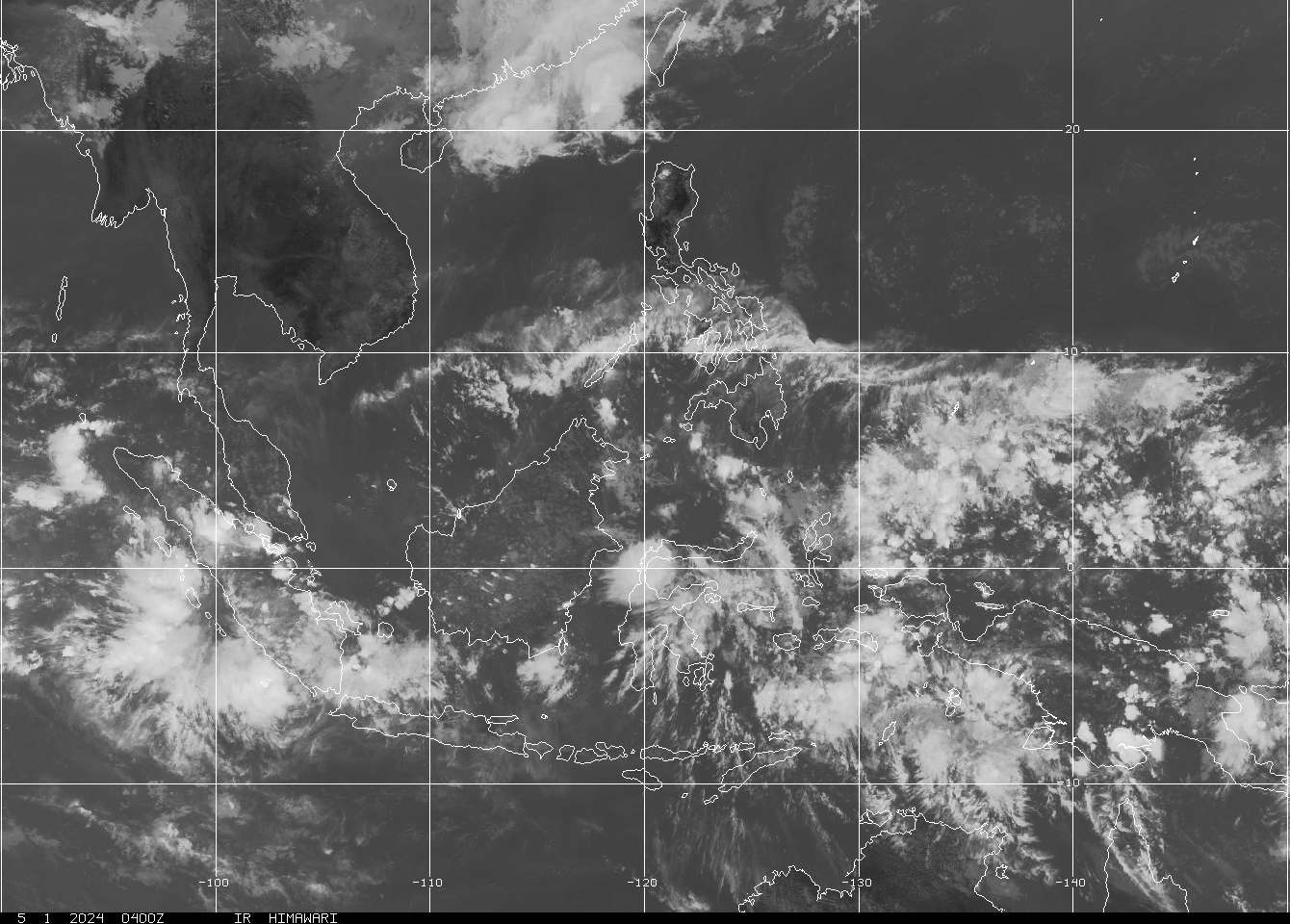
A new Low Pressure Area (LPA) crept out of the thick Intertropical Conversion Zone just east of Mindanao about 295 km ESE of Caraga, Davao Oriental. Winds in the area are estimated at 27 kph.
The Low Pressure Area east of Palau has moved NW and is now about 200 km East of Koror, Palau. Winds are estimated at 27 kph.
Meanwhile, the LPA northwest of the Spratly Islands in the West Philippine Sea has been upgraded to Tropical Depression by the Japan Meteorological Agency. Its center was about 275 km ESE of Paracel Islands or 550 km SE of Lingshui, Hainan. Winds in the area are estimated at 37 kph. It is forecast to move slowly NNW over the South China Sea in the next 48 hours. Please note that this disturbance is already outside the Philippine Area of Responsibility and there are no signs coming from the forecast models that this system will affect the Philippines.
Forecast Models began to plot the two (2) disturbances (LPA's) east of the Philippines. A possible merging of these two LPA's is likely once the LPA east of Palau enters the Philippine Area of Responsibility (PAR). The merged LPA's shall trek the Philippine Sea in the coming days. We shall be keeping an eye on these disturbances.
Rains shall prevail over Mindanao and Visayas in the presence of these two eastern LPA's combined with the strong Intertropical Convergence Zone. The rest of the country will be fair with some isolated rainshowers and/or thunderstorms. Stay tuned for updates.
Scroll down for the latest atmospheric and oceanic imageries.
•••

===
===
•••
 |
|---|
•••
No comments:
Post a Comment