
LPA Alert:
A Low Pressure Area (LPA) has persisted about 380 km SE of Koror, Palau or about 190 km East of the Philippine Area of Responsibility. Winds in the area are estimated at 27 kph. It is forecast to move WNW towards the Philippine Sea in the coming days.
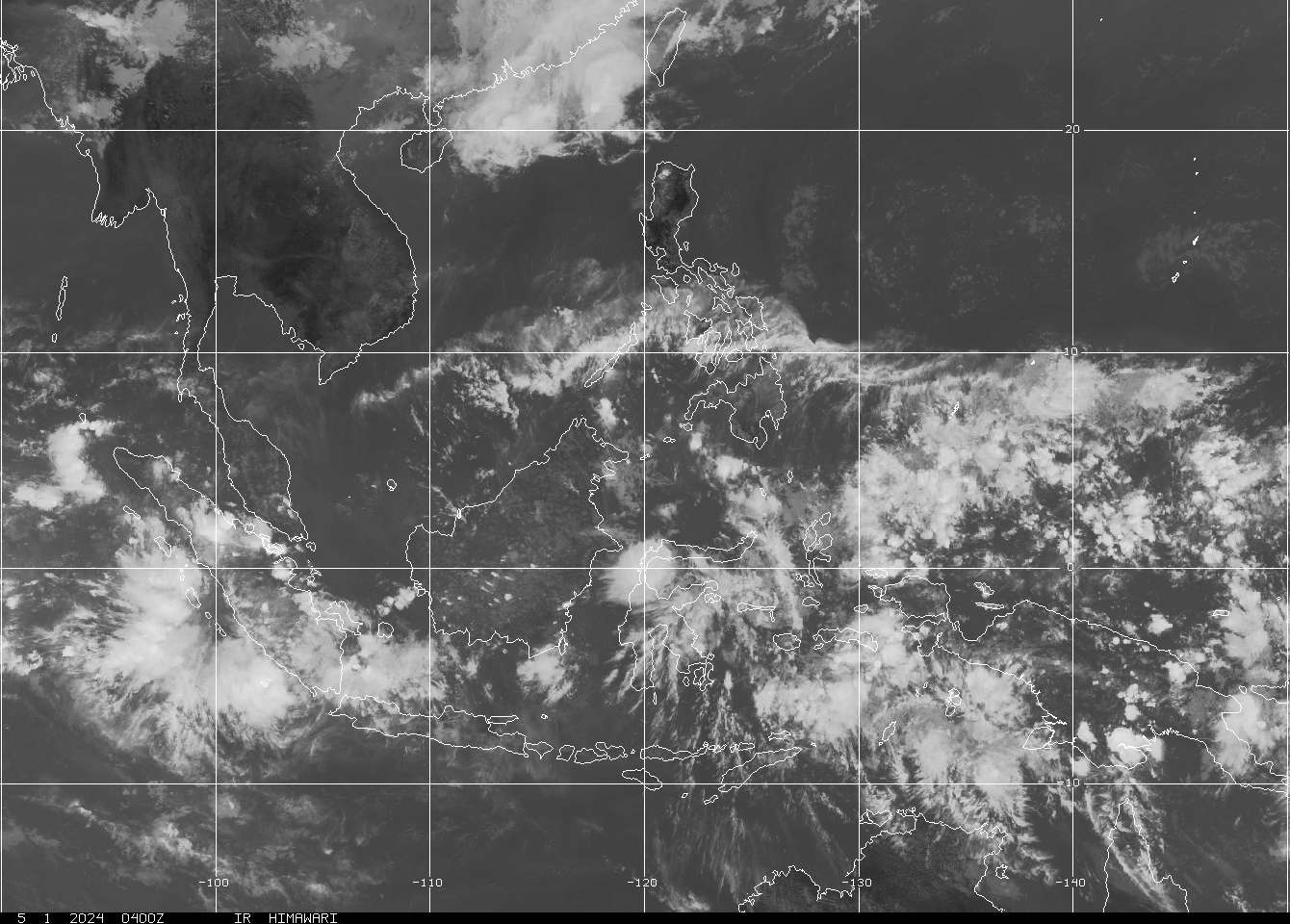
Meanwhile, another LPA persisted over the vicinity of the Spratly Islands in the West Philippine Sea. Its center was about 380 km NE of the North Bank, Spratly Islands or 540 km WNW of Puerto Princesa, Palawan. Winds in the area are estimated at 37 kph. It is forecast to move NW towards Paracel Islands and Hainan Island in the next 48 hours.
We shall be keeping an eye on these disturbances for possible development.
Scroll down for the latest atmospheric and oceanic imageries.
ECMW Forecast for the Philippines:
Based on the latest forecasting prognosis, the archipelago shall continue to experience generally fair weather. Sunny and rainy at times associated with thunderstorms should be a normal scenario throughout the forecast period. High amount of rainfall is also expected brought about by the Intertrpoical Convergence Zone (ITCZ) in the area. The Pacific Ocean's high heat content remains a favorable element for possible development of tropical cyclones this season.
Forecast Validity: up to 23 June or until there is sudden change in the forecast.
•••

===
===
•••
 |
|---|
•••
No comments:
Post a Comment